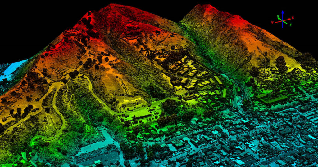
3D Elevation Data is highly valued and desired across the country, with the USGS promoting complete coverage for the US in the 3D Elevation Program (3DEP). In Wyoming, much interest has been indicated by various federal agencies as can be seen in this web map. A state plan will be developed as interest and financial support increases. If you have your own areas of interest and would like to contribute to the map, please fill out this form.
